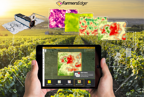
Timely insights are crucial to responding to changes in the field. Get visibility like you’ve never had before with the ag industry’s most frequent, high-resolution imagery available.
For $1.50 acre, you can access:
• High-resolution satellite imagery captured daily
• Automatic crop health change notifications for fast problem detection
• 4 unique map layers for accurate field-level analysis and directed scouting
• State-of-the-art image processing technology for fast map production
From almonds and blueberries to grapes, walnuts, and everything in between, Farmers Edge unique approach goes beyond the industry standard to help you detect and respond to crop issues before yield is impacted.
Sign up for 2020 & get FREE access to historical imagery layers NOW. Only $1.50/Acre
CASL |
Privacy | Accessibility|Unsubscribe If you visit any links we will provide your subscription contact info (not your email) to the advertiser or sponsor.