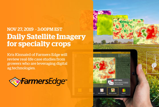
Daily Satellite Imagery for specialty cropsHigh-frequency and high-resolution imagery for specialty crops is hard to come by – until now. Don’t get left behind – discover how imagery taken daily, unique map layers and automatic crop health change notifications are a driving force in digital agriculture.
|
|||

|
|||
|
Farmers Edge 25 Rothwell Road Winnipeg, MB R3P 2M5| 1-647-724-5059 | Contact Us CASL | Privacy | Accessibility |Unsubscribe If you visit any links we will provide your subscription contact info (not your email) to the advertiser or sponsor. Copyright ©yyyy Annex Business Media P.O. Box 530, 105 Donly Drive S, Simcoe, ON, CANADA N3Y 4N5 customercare@annexbusinessmedia.com Customer Service: Tel 1-800-668-2374 |
