About Us

View As Webpage

 
A Message from our Sponsor


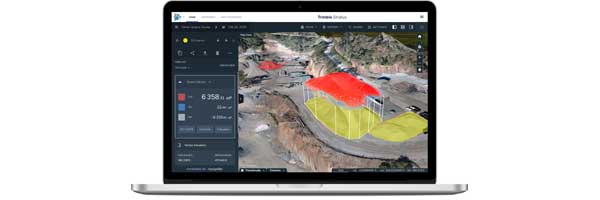
Measure stockpiles, blast volumes and map worksites in minutes.
 
Transform raw data into actionable insights with Trimble Stratus - the most accurate drone mapping platform on the market.

With Trimble Stratus, you can make better-informed decisions faster, avoid mistakes, and grow profits by always having the right information on hand.

Features:
  • Measure stockpile, pit and blast volumes in minutes
  • Keep a close watch on haul roads and pit faces
  • Safely measure bench and overall pit angles
  • Perform crushing equipment inspections
  • Safer, faster in-house surveying - no survey crew necessary
  • Document environmental regulation conformance
  • Track changes in slope angles to better manage slips
 
 
Why Trimble Stratus?
  1. Hassle-free, in-house surveying
  2. Stratus packages grow with your needs, without bloated licensing fees.
  3. Upload historical survey data, to ensure no gaps in your data.
  4. Uninterrupted data security.
  5. Dedicated customer success specialist 24/7 technical and free data migration support
 
Learn more
 
Short on time? Watch the 2-minute video
 
Watch video